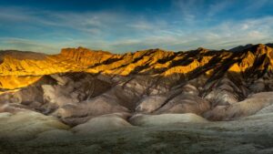
Known as the hottest place on planet earth (a record 134 degrees), driest (less than 1.5 inches/year) and lowest U.S. national park (-282 feet below sea level), Death Valley is a land of extremes offering park visitors a striking contrast of landscapes to explore — from the snow that covers the towering rocks at Telescope Peak to the myriad canyons and seemingly endless alluvial fans.
1.208.369.9153
contact@blackrhinoexpeditions.com
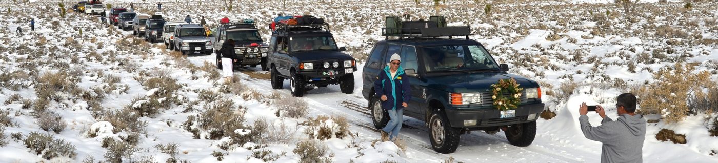
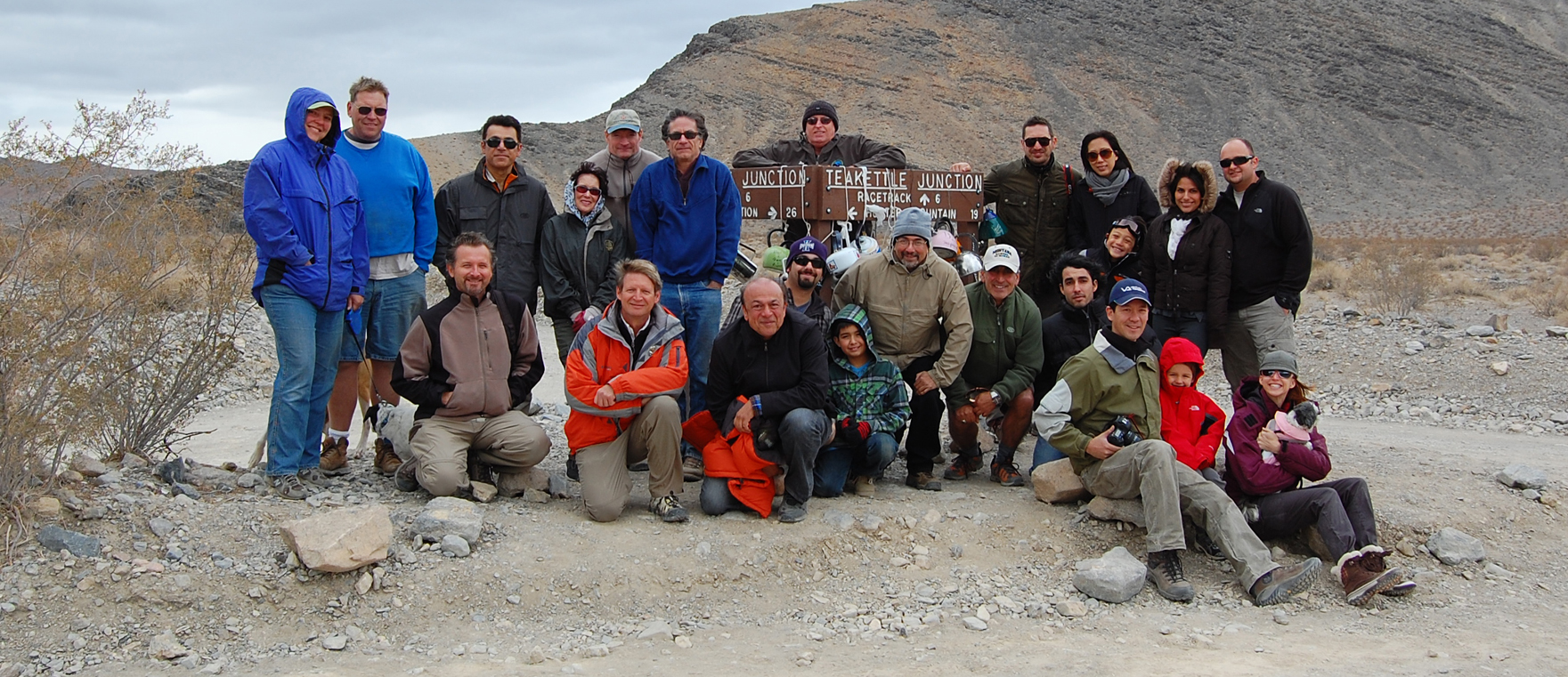
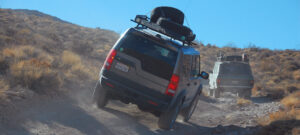
 We’ve been introducing people to Death Valley for almost 20 years. Our expeditions are run during the cooler parts of the year and are a combination of driving, hiking, exploring mining camps, and photographic opportunities. Even a 4×4 truck can only get you so far. So much of the great stuff to see is only accessible by foot though none of our hikes are too strenuous, or too long.
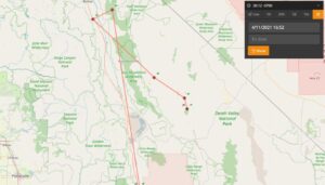 During the expedition, we’ll be using a SPOT (a satellite tracking device) which will allow those folks who couldn’t make the trip to follow on their computer our daily travels. We’ll supply the link for the arm-chair expeditioners.
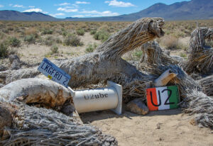 Along the way, we’ll make a stop at the location of the photo shoot for the Joshua Tree album cover for the rock group U2. You’ll be amazed at the lengths fans will go to as they show their appreciation for the band.
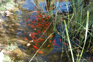 We’ll leave Darwin and and head through Ophir Canyon to China Garden Springs which was the processing center for the zinc ore from the mines. The Springs consist of a surprisingly large pool of water which is home to a sizable population of Koi fish.
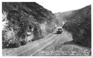
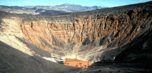 Ubehebe Crater is a large volcanic crater approx. 600 feet deep and half a mile across. To the local indigenous people, the Timbisha Shoshone Indians, the crater has been known as “Tem-pin-tta- Wo’sah”, meaning Coyote’s Basket. No one is quite sure how Ubehebe became associated with this crater.
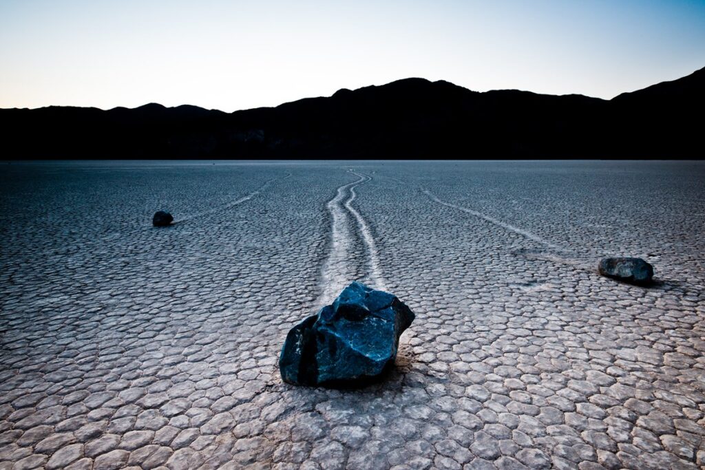
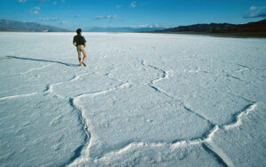 Badwater Basin is the lowest point in North America at 282 ft (86 m) below sea level. These salt flats cover nearly 200 square miles (518 square km), and are made mostly of sodium chloride (table salt), along with calcite, gypsum, and borax.
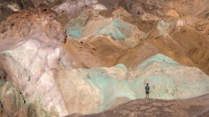 Next on our travels is Artists Palette, a spectacular display of colors from volcanic deposits rich in iron oxides and chlorites. You’ll see various shades of red, orange, yellow, blue, pink and green creating a spectacular kaleidoscope effect.
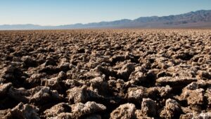
 The trail leaves the highway and winds its way through the Amargosa Range until it reaches the old mining town. The mining ruins offer some of the oldest in the Park, dating back to 1871. The views from the cliffs of Chloride City are spectacular – Death Valley stretches out below, and in the distance you can make out Mt. Whitney.
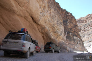 Titus Canyon has a little bit of something for everyone – spectacular views, petroglyphs, mining ruins at Leadville, and an amazing drive through a canyon with 400+ foot high walls barely wide enough for a car to pass through.